weather@sajori.com
HURRICANE MARIA
Puerto Rico, in this hurricane season you need to know the oficial information for storms. Here you can see It's movement, forecast and diferent maps so you won't be caught out of guard.
National Huricane Center - Homepage (Caribbean)
Click Here to view NOAH's Caribbean Weather Report
Images are automatically every half hour.
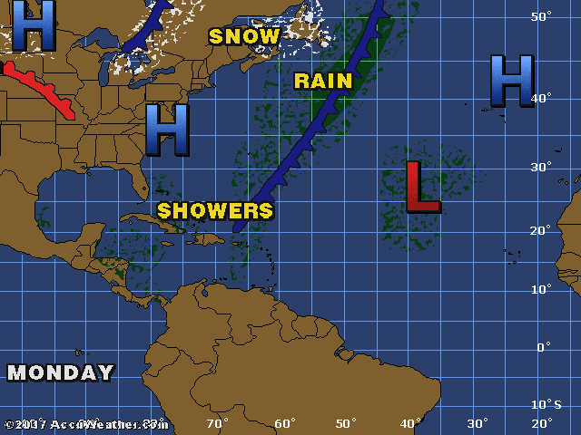
Doppler Radar
Satellite Image
Galileo Image (Fronts & Pressures)
TROPICAL ATLANTIC IMAGERY
http://www.ssd.noaa.gov/imagery/tatl.html
(click image for loop)
TROPICAL WEATHER OUTLOOK
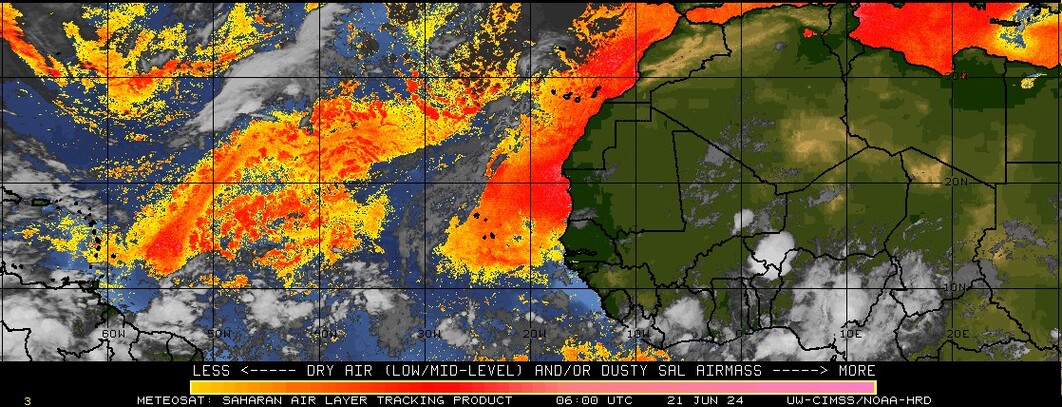
Sahara Dust Levels
Home
Subscribe to:
Comments (Atom)